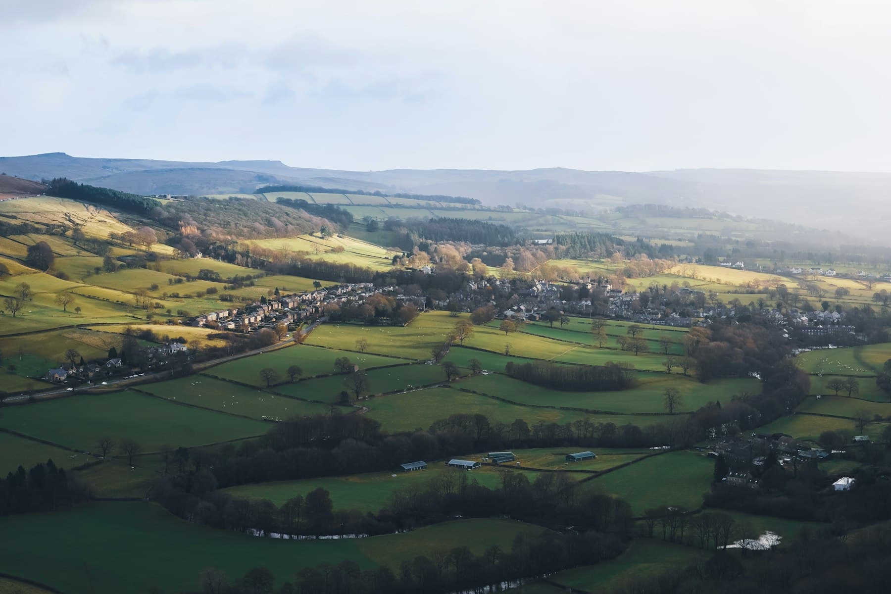
Large areas of land are difficult to understand from the ground. From above, boundaries, access, drainage and condition become obvious — which is invaluable for sales, planning and management.
We work with landowners, agents, farmers and environmental projects to produce clear, accurate imagery of rural sites of any size.
Example applications
- 01Farm and estate sales
- 02Boundary and access overviews
- 03Environmental and restoration projects
- 04Equestrian properties
- 05Forestry and woodland
- 06Flood and storm damage records
Benefits
Why take it to the air
Understand the whole site
Boundaries, access routes and features seen together in context.
Support sales and planning
Clear visuals for brochures, applications and consultations.
Low-impact
No vehicles on the land and minimal disturbance to livestock and wildlife.
Records over time
Repeat flights document seasonal change, restoration work or damage.
Gallery
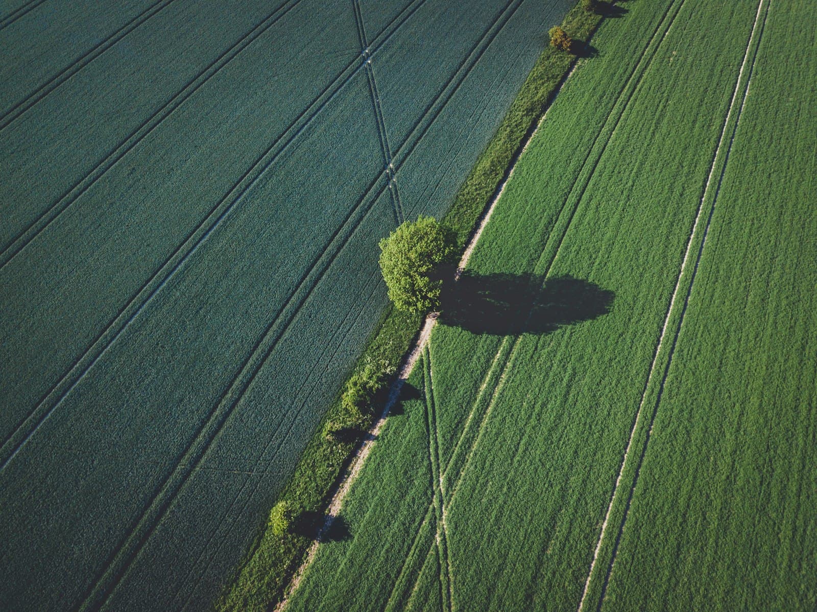
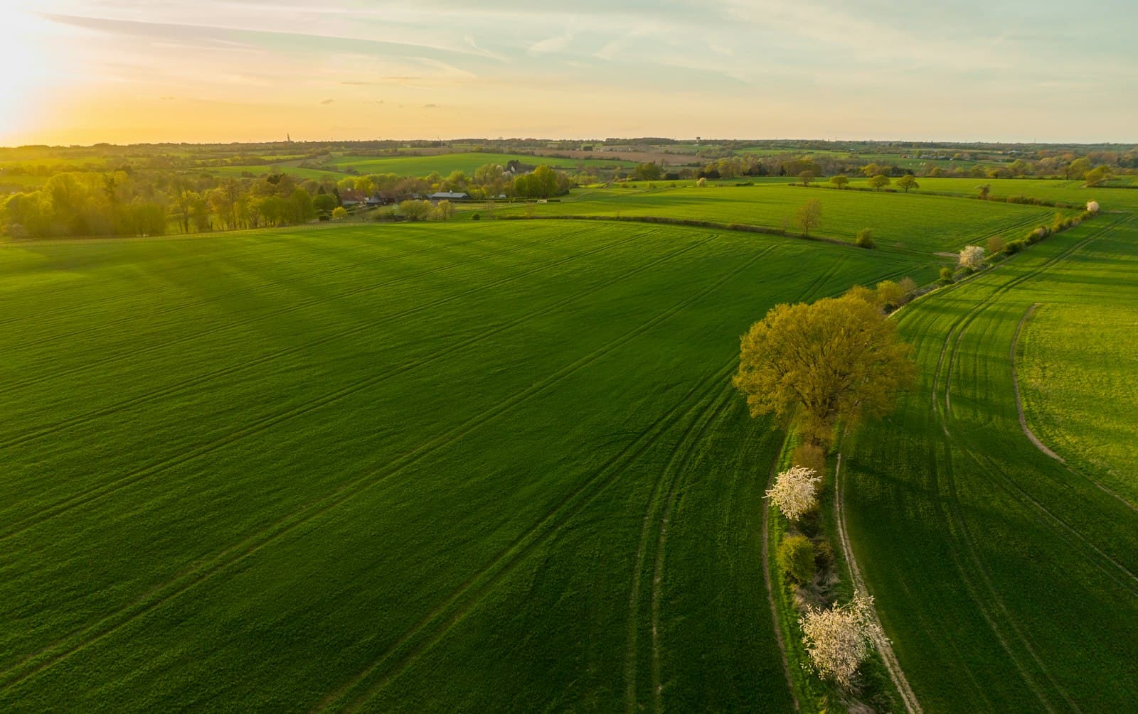
In the frame
FAQ
Good questions
How large an area can you cover?
There's no fixed limit — larger sites are simply flown in sections. Let us know the acreage and we'll plan accordingly.
Will the drone disturb livestock?
We plan flights to keep a sensible distance and height from animals, and will take your guidance on anything sensitive.
Start a project
Let’s take your projectHigher
Get in touch today for a no-obligation quote or to discuss your project.
Sky Has No Limits
Next service
Aerial Film & Media